-

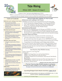
The Spring 2025 Issue of Tide Rising, our quarterly newsletter, is here
Tide Rising: Volume 6, Issue 3, Spring 2025. The San Francisco Bay…
Continue reading -
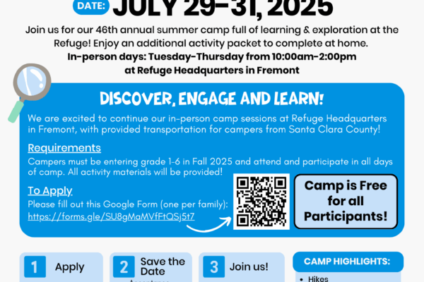
Marsh-In Summer Camp 2025! | July 29-31, 2025
We are so excited to welcome campers to another year of Marsh-In Summer Camp held at the Don Edwards San…
Continue reading -
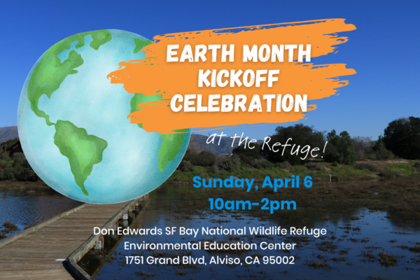
Earth Month at the Refuge!
The San Francisco Bay Wildlife Society is excited to host an Earth Month Kickoff Celebration at the…
Continue reading -
The Winter 2025 Issue of Tide Rising, our quarterly newsletter, is here
Tide Rising: Volume 6, Issue 2, Winter 2025. The San Francisco Bay…
Continue reading -
We’re Hiring: Wildlife Biology Associate
Updated January 17, 2025: This position is now filled. Thank you for your interest. POSITION Wildlife Biology Associate, San Francisco Bay Wildlife Society Duty Station – Don Edwards San Francisco Bay National…
Continue reading -

Support us with our membership drive this 2024 holiday season
Nature-themed Gifts This holiday season, share your love of nature and the National Wildlife Refuges by gifting your loved ones nature-themed gifts. You can
Continue reading -
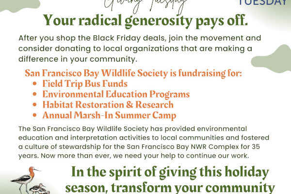
On #GivingTuesday 2024 help us conserve and preserve the essential wildlife habitat of the San Francisco Bay
San Francisco Bay Wildlife Society wants to wish you all happy holidays. No matter what holiday you may celebrate, as we all gather this season, we share the common…
Continue reading -
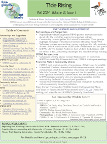
The Fall 2024 Issue of Tide Rising, our quarterly newsletter, is here
by Ceal Craig Tide Rising: Volume 6, Issue 1, Fall 2024. The San…
Continue reading -
Celebrate National Wildlife Refuge Week 2024 (Oct 13-19) at Don Edwards SF Bay NWR
Come celebrate National Wildlife Refuge Week this year from October 13 through October 19 at the Don Edwards San Francisco Bay National Wildlife Refuge. This special week…
Continue reading